- KN5 Road Remera Kigali
- info@4x4kigalicarentals.com
- +250 787809667
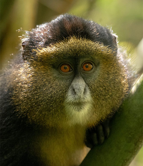
Mgahinga National Park sits high in the clouds, at an altitude of between 2,227m and 4,127m. its name suggests, it was created to protect the rare mountain gorillas inhabiting in dense forests, and it is also an important habitat for the endangered golden monkey.
As well as being important for wildlife, the park also has a huge cultural significance, in particular for the indigenous Batwa pygmies. This tribe of hunter-gatherers was the forest’s “first people”, and their ancient knowledge of its secrets remains unrivaled.
Mgahinga’s most striking features are its three conical, extinct volcanoes, part of the spectacular Virunga Range that lies along the border region of Uganda, Congo, and Rwanda. Also forms part of the much larger Virunga Conservation Area, which includes adjacent parks. The volcanoes’ slopes contain various ecosystems and are biologically diverse, and their peaks provide a striking backdrop to this gorgeous scenery.
The Virungas are a chain of eight volcanoes that borders Uganda, the Democratic Republic of the Congo, and Rwanda. Three of the conical peaks are in Uganda’s Mgahinga Gorilla National Park:
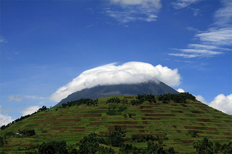
Muhavura (4,127m) is the highest of the peaks in Mgahinga Gorilla National Park. This means guides and the Batwa used to look for its high peak to help orient themselves in the forest. Muhavura has a crystal clear crater lake about 36m wide at its summit.
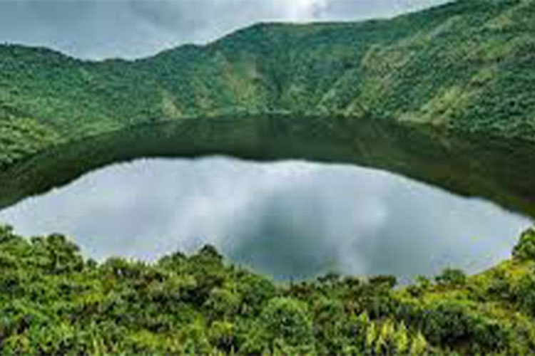
Mount Gahinga (3,474m) is the smallest of the Virunga volcanoes. It is named after the local practice of tidying the volcanic debris that clutters local farmland into neat cairns – or gahinga. Its swamp-filled crater is around 180m wide.
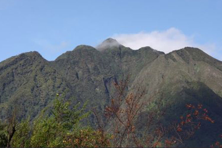
Sabinyo means old man’s teeth, a reference to its jagged summit, which is dissected by deep gorges and ravines. The countries that share the Virungas – Uganda, Rwanda, and DR Congo – meet on the highest of Sabinyo’s stumpy peaks.
Mgahinga Gorilla National Park is located in southwestern Uganda on the border with Congo and Rwanda. Covering an area of about 33.7 sq kilometers
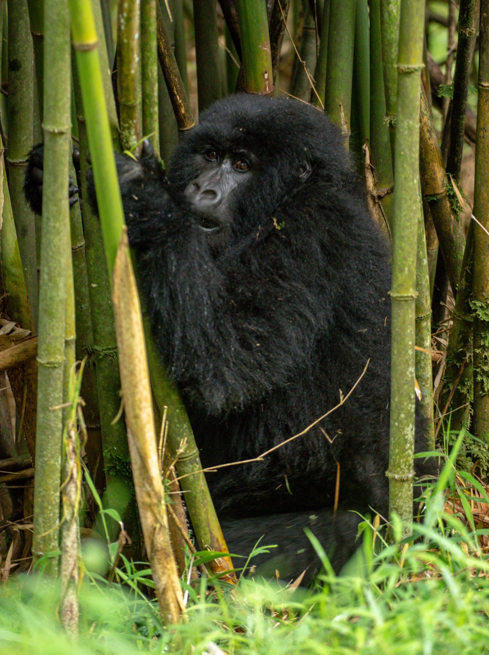
The park is also a habitat for mountain gorillas, one of the few places in the world where the endangered mountain gorillas live, and it attracts people from different countries.
There is no doubt that Mgahinga Gorilla National Park is one of the leading tourist sites in Uganda, as it harbors these rare primates.
One may wonder why gorilla Safari should be done in Mgahinga because the park has a thick rainforest with a wide variety of tree species and gorillas known to be vegetarians.
There is enough food in the park, and this is the reason why some even migrate from Congo and Rwanda.
In large numbers, gorillas of Mgahinga are easily seen in their natural habitats, making tracking easier compared to other parks.
The three- to four-hour Gorge Trail between Gahinga and Sabinyo can provide spectacular sightings of the Dusky turtle Dove, Cape Robin-chat, Kivu-ground Thrush, Olive Thrush, Brown-crowned Tchagra, Bronze Sunbird, Regal-headed Sunbird, Rwenzori Batis,also Black-headed Waxbill, and Streaky Seedeater.
Other good birding areas are at the bamboo belt at about 2,500m above sea level, and the tall montane forest at 2,660m. The Rwenzori Turaco is mostly sighted at around 2,700m. Along the Uganda-Congo border and on level ground, the Chubb’s Cisticola, Red-faced Woodland Warbler, Banded Prinia, and Doherty’s Bush-shrike are vocal yet inconspicuous inhabitants of the tangled vegetation at the forest’s edge.
For generations, Mgahinga’s dense forests were home to the indigenous Batwa: hunter-gatherers and fierce warriors who depended on the forest for shelter, food, and medicine.
When the national park was established, the authorities evicted the Batwa from the forest, forcing them to abandon their low-impact, nomadic lifestyle.
Today, they can re-enter their cherished forest only as tour guides on the Batwa Trail. Through the trail, visitors discover the magic of the Batwa’s ancient home while enjoying nature walks and learning about their cultural heritage.
During the trail, the Batwa demonstrate hunting techniques, gather honey, point out medicinal plants, and show visitors how to make bamboo cups. Guests also visit the sacred Garama Cave, once a refuge for the Batwa. Inside,
the women of the community perform a sorrowful song that echoes eerily around the depths of the dark cave. As a result, guests leave with a moving sense of the richness of this fading culture.
Importantly, part of the tour fee goes directly to the guides and musicians. The rest goes to the Batwa community fund, which helps cover school fees and books while improving their livelihoods.
By road, one can access the park by use of a car from Kampala via Kabale to Kisoro. This journey takes about 8 hours.
By air, one can board a plane from Entebbe to Kisoro Airstrip which is near the park. This is the quickest mode of access and it takes about 1 hour. There are daily scheduled flights that must be booked long in advance with your local Uganda safari operator.
While at Mgahinga Gorilla national park, one should not worry about accommodation because there are various lodges suitable for relaxation and overnight. These are found in Ntebeko, Kisoro and Lake Mutanda. In Ntebeko, the accommodations are; Volcanoes Mount Gahinga Safari Lodge and Amajambere Iwacu Camp. The lodges in Mutanda include; Lake Mutanda Chameleon Hill Lodge. In Kisoro, the lodges where a visitor can stay are; Kisoro Traveler’s Rest Hotel and River Mucha Hotel.
All three volcanoes in this park can be summited. Mt. Sabinyo, at 3,669m, takes about eight hours to cover the 14km round trip, following a steep ridge up to the peak.
It takes around six hours to ascend and descend Mt. Gahinga (3,474m), topped by a swamp-filled crater and giant lobelia. Lucky climbers may spot golden monkeys on their way through the bamboo forest.
Mt. Muhavura is the highest peak at 4,127m, and this 12km round trip takes around eight hours. Once at the top, hikers are rewarded on a clear day with views of the Virunga Volcanoes, Lake Edward, Bwindi Impenetrable Forest, and the peaks of the Rwenzoris.
We are your professional dedicated team, providing the most affordable rates for car hire services in Uganda. If you are looking for a chauffeur-driven rental or self-drive car hire, we are definitely the best local car rental agency.